Eastern Caribbean
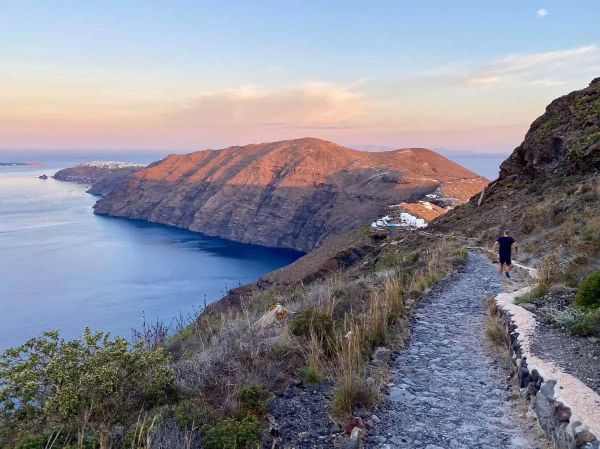
Wear suitable footwear and carry water before setting out on this caldera trail.
The Fira to Oia Walk is a trail along the caldera rim of Santorini, connecting the island's main town of Fira with the village of Oia at its northern tip. The path follows the edge of the volcanic crater, passing through or near smaller cliffside settlements along the way.
The landscape along the route is shaped by volcanic geology, with rocky terrain characteristic of the caldera's edge. The trail passes through quieter parts of the island between the two well-known endpoints, offering a ground-level perspective on the caldera that differs from viewing it from within either town.
Location
The trail runs along the western caldera rim of Santorini, linking the island's capital Fira with the northern village of Oia.
Coordinates: 36.4374° N · 25.4226° E
Nearby places
All of Santorini Recommended
A beach club below Santorini's volcanic cliffs, with Greek food, shaded loungers and a rocky shoreline. We visited after Oia and Fira on our Celebrity Xcel excursion.
 Recommended
A viewpoint in Oia, Santorini, where you can photograph the famous trio of blue-domed churches above the caldera. Crowds build through the morning, so an early visit is worthwhile.
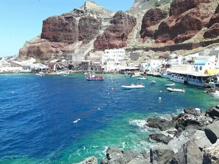
Ammoudi Bay is a small inlet below Oia on Santorini, reached by steps cut into the cliff. Seafood tavernas line the waterfront and the rocks are used for swimming.
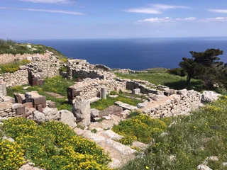
Ancient Thera is a ruined settlement on Mesa Vouno, Santorini, with streets, temples and inscriptions from the Archaic, Hellenistic and Roman periods. It can be reached on foot from Perissa or Kamari.
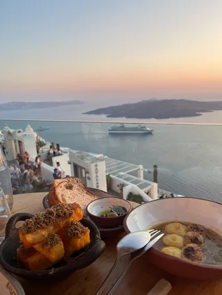
A cliff-edge dining venue in Fira, Santorini, with views over the sea. The menu focuses on gourmet pasta and meat dishes.